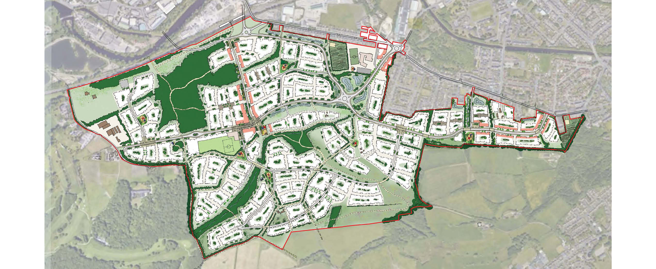
Masterplanning
Designing across a range of scales, contexts and sectors

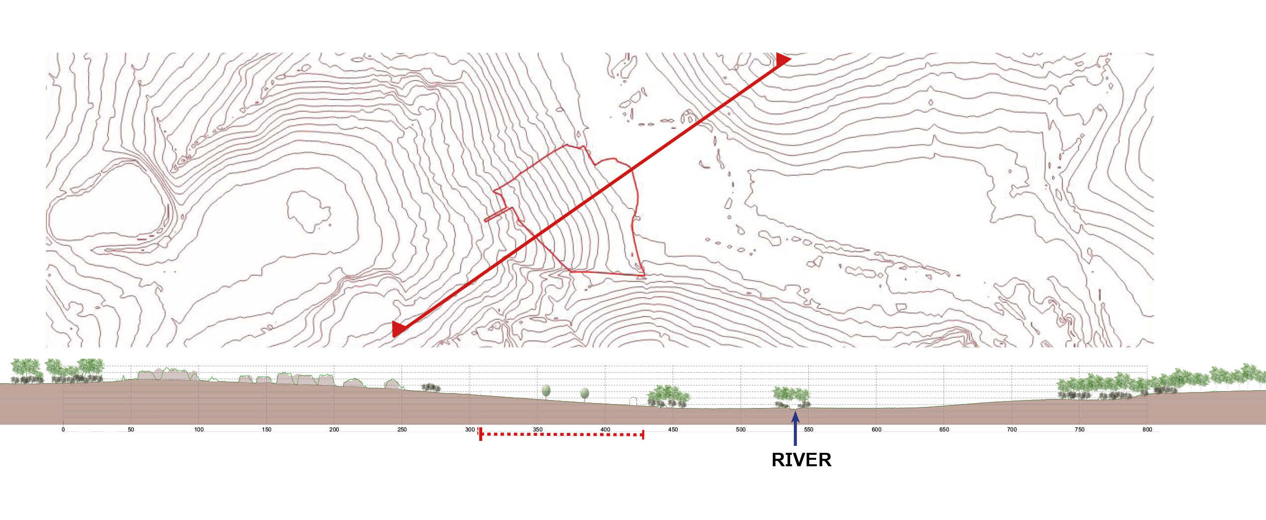
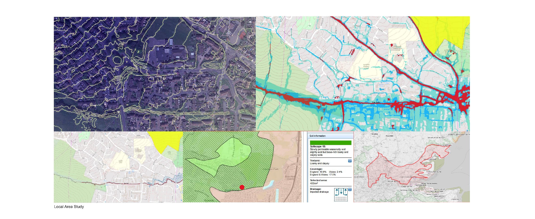
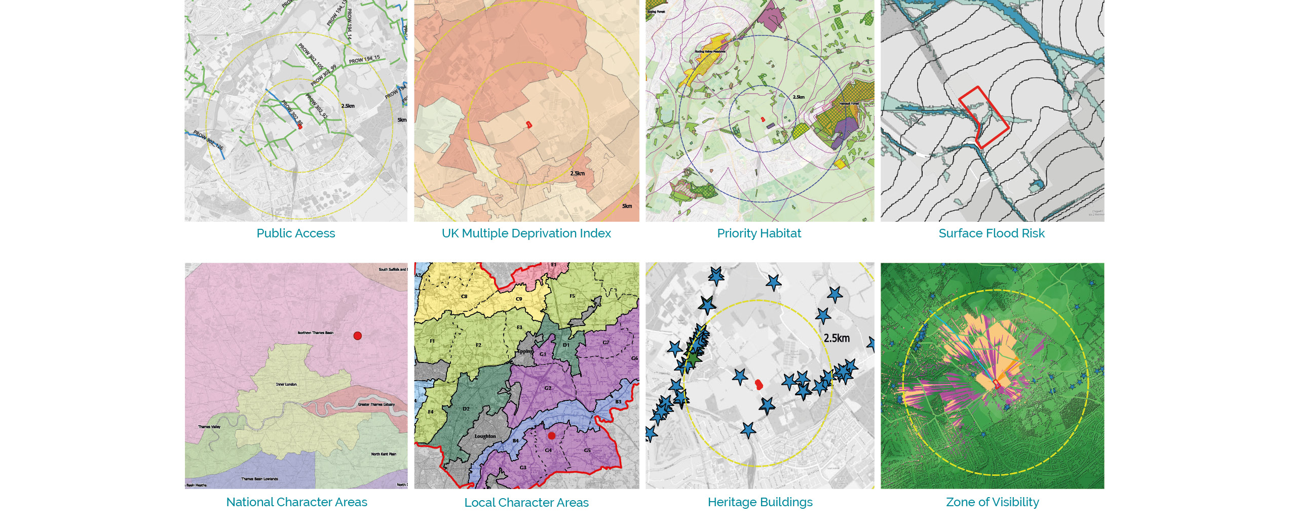
At R-LA we begin every project with a thorough desktop study that analyses the most up to date GIS data which we overlay to get a sense of the land both within the site and beyond the red boundary line. We look at:
Landscape designations
Public Rights of Way and Transport Links
Heritage Buildings
Multiple Deprivation Index
Risk of River and Surface Water Flooding
Geology
Soil Fertility and Drainage
Ground Water Vulnerability
Character Areas
From this point, together with other stakeholders, we can begin to shape a design that considers the community's needs, existing transport infrastructure, identify constraints and opportunities.
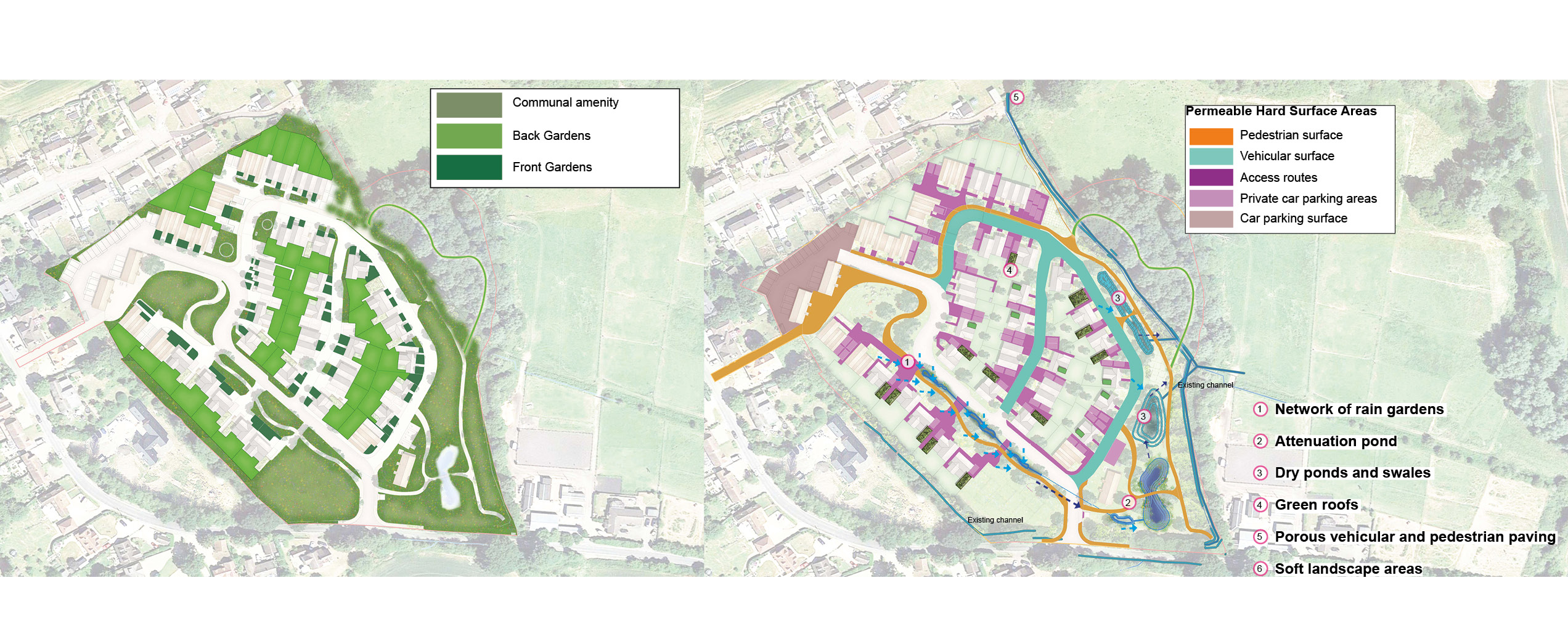
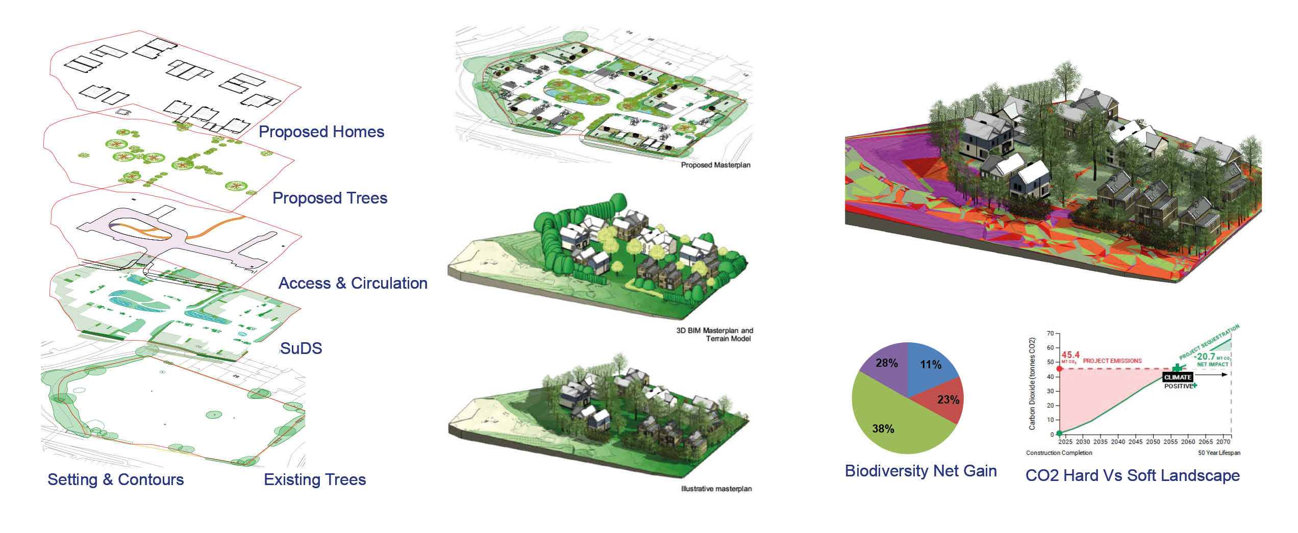
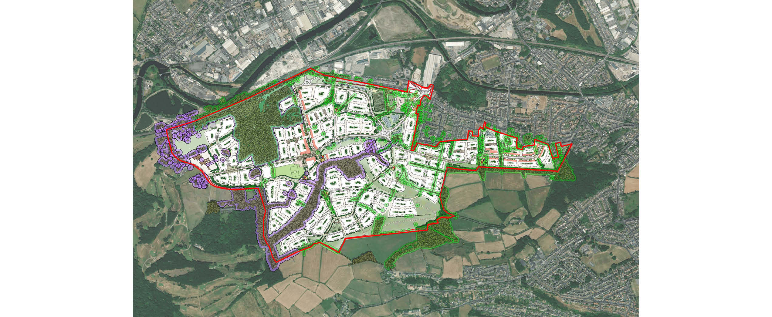
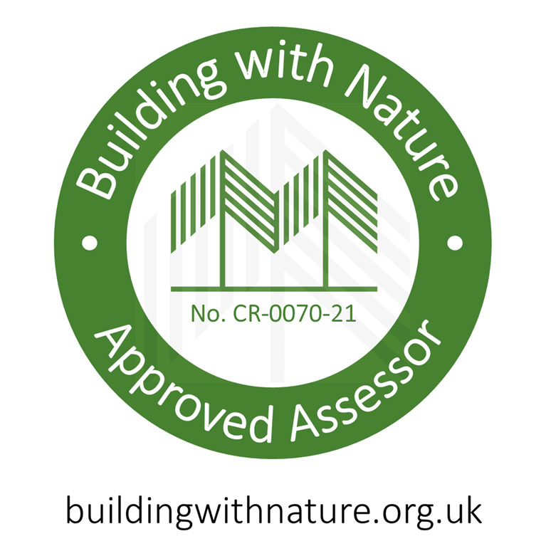
At R-LA we consider SuDS and biodiversity to be two major components of our iterative design process. Cristina, R-LA's founder and Director, has held the position of SuDS and Biodiversity Expert for the High Streets Task Force, (a panel commissioned by the Conservative government to devise a roadmap for transforming our town centres) and is an approved assessor for Building with Nature (BwN) - the first UK Green Infrastructure accreditation.
Designing with Building with Nature Core Standards:
Optimising Multifunctionality & Connectivity
Positively Responds to the Climate Emergency
Maximises Environmental Net Gains
Champions a Context Driven Approach
Creates Distinctive Places
Secures Effective Place-keeping
Together these core standards are combined with standards in Wellbeing, Water and Wildlife
Early SuDS Design Involvement:
 Land Aquisition Stage
Feasibility Design
Sketch Design and Concept Development
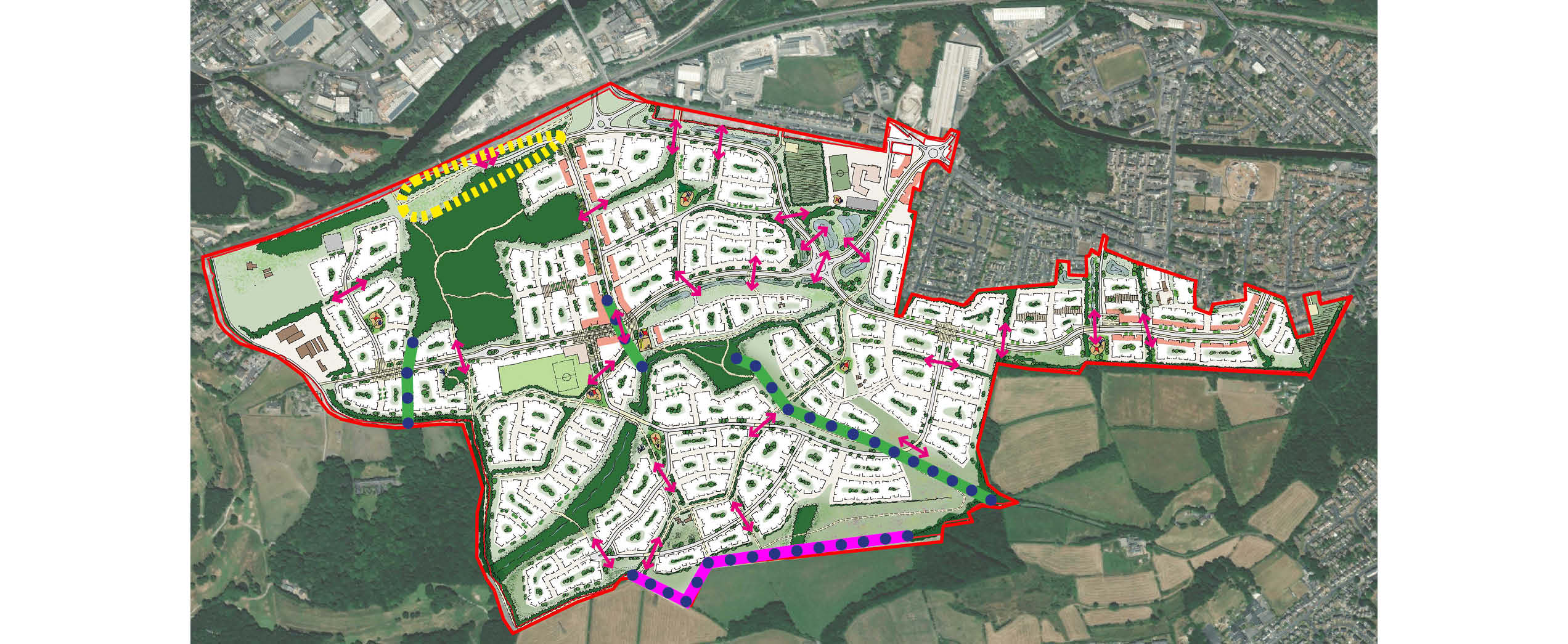
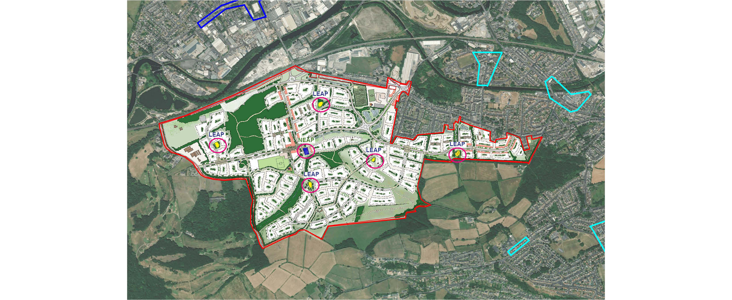
All Sectors: Residential, Commercial, Public Realm, and Education.
Benefits:
 Treating stormwater close to the surface
 Reduce run-off rate
 Store water for Irrigation
 Amenity, health & Wellbeing
 Wildlife Habitat and BNG
 Speeds up Planning Approval
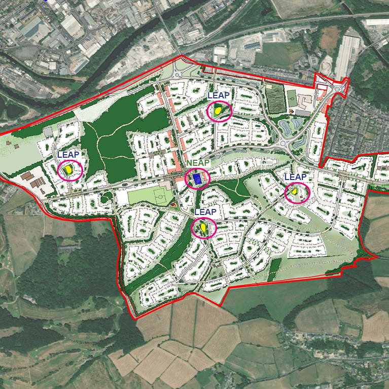
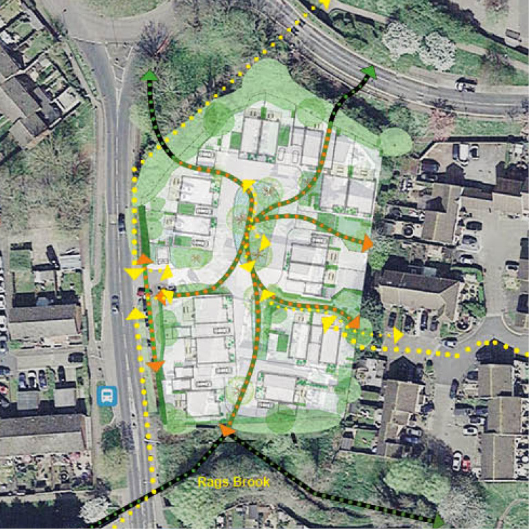
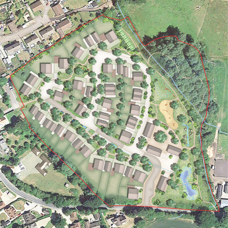
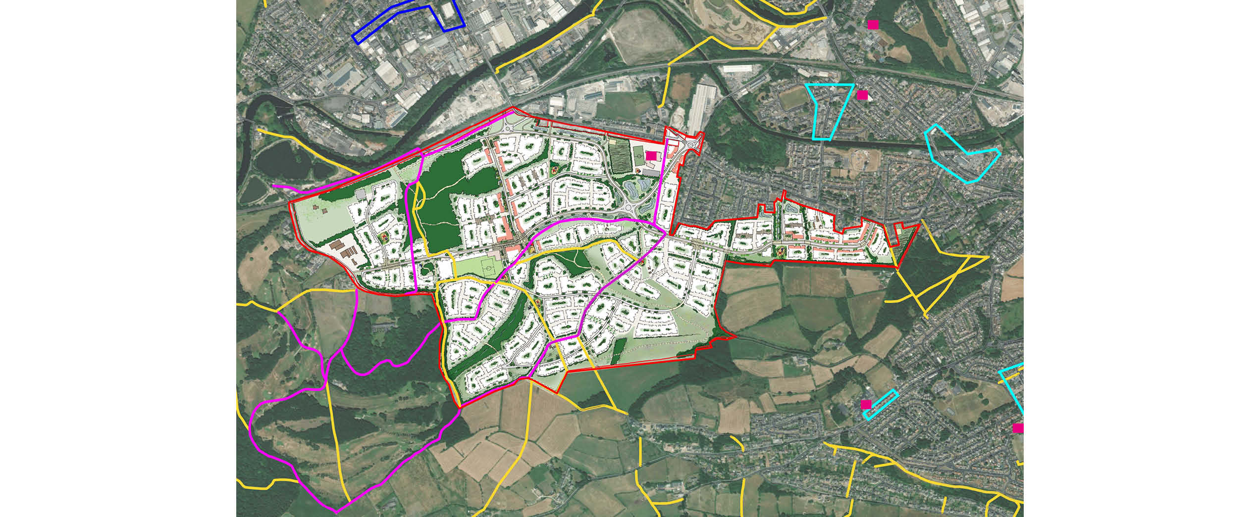
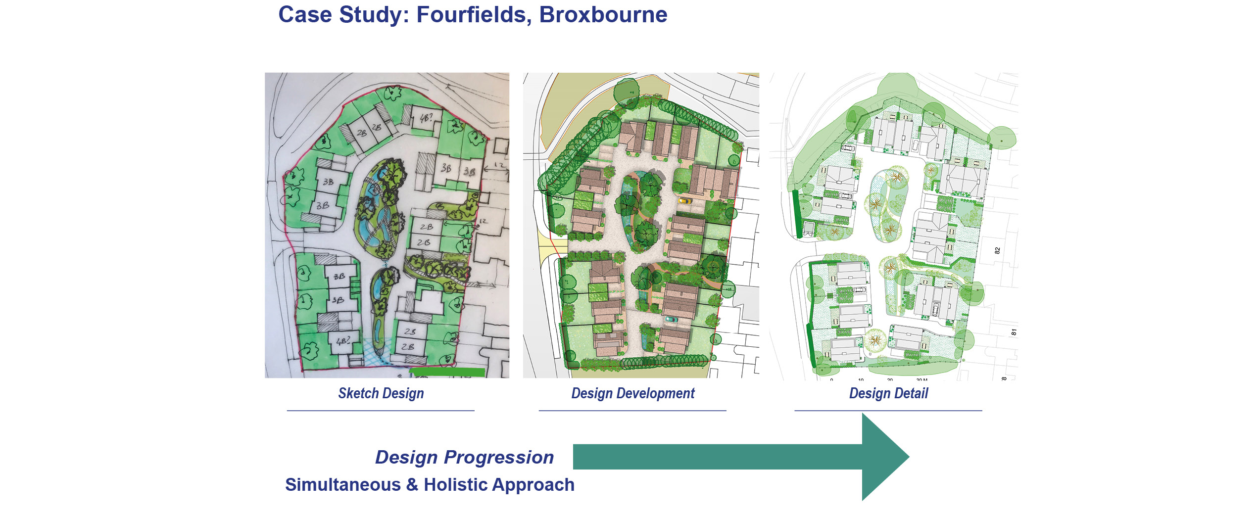
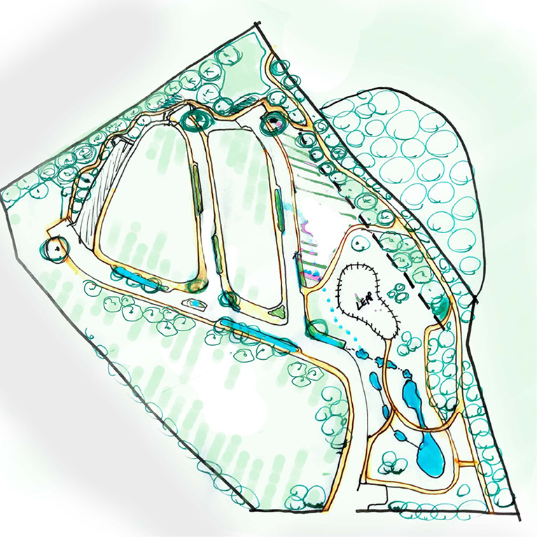
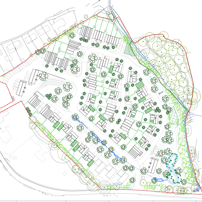
Example Projects: