Using 3D Software to Transform Designs
R-LA combines 3D terrain modeling beyond the red boundary with multi-layered Geographical
Information Systems (GIS) to capture the essence of a site from
project inception. Information is interpreted and graphically distilled
to become a valuable asset in early land planning decisions.
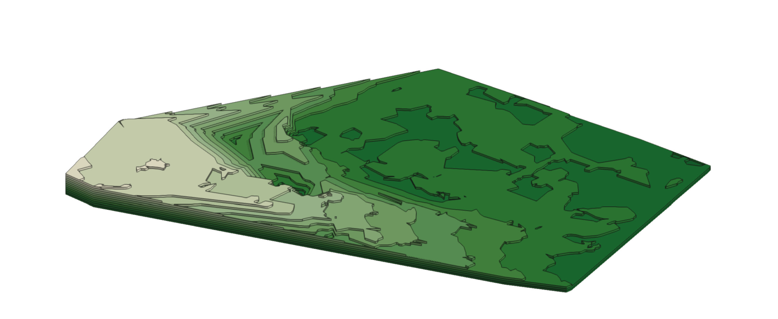
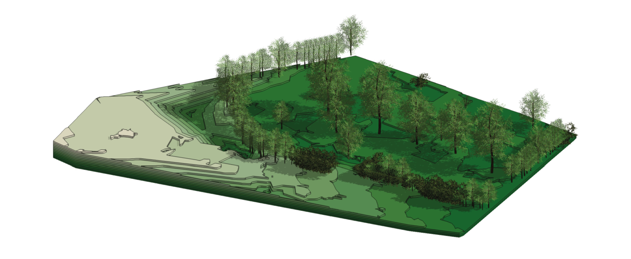
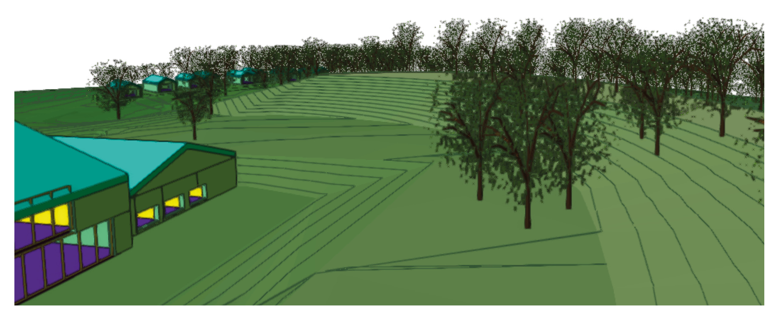
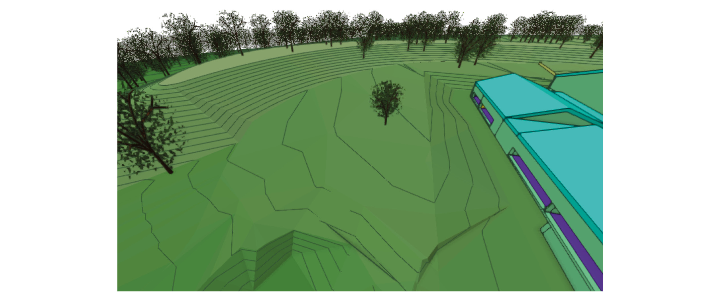
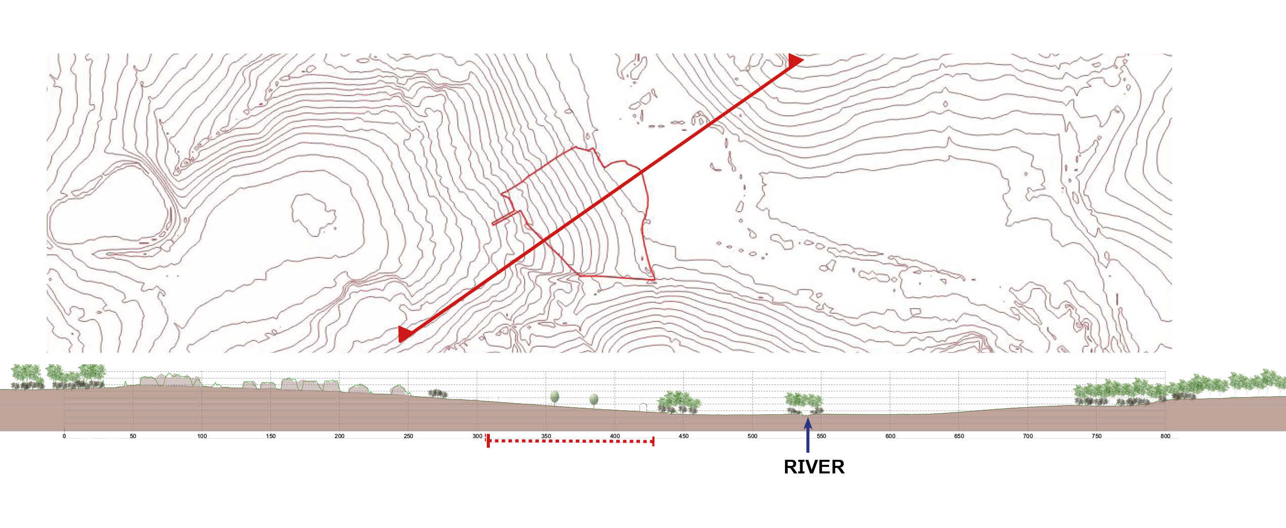
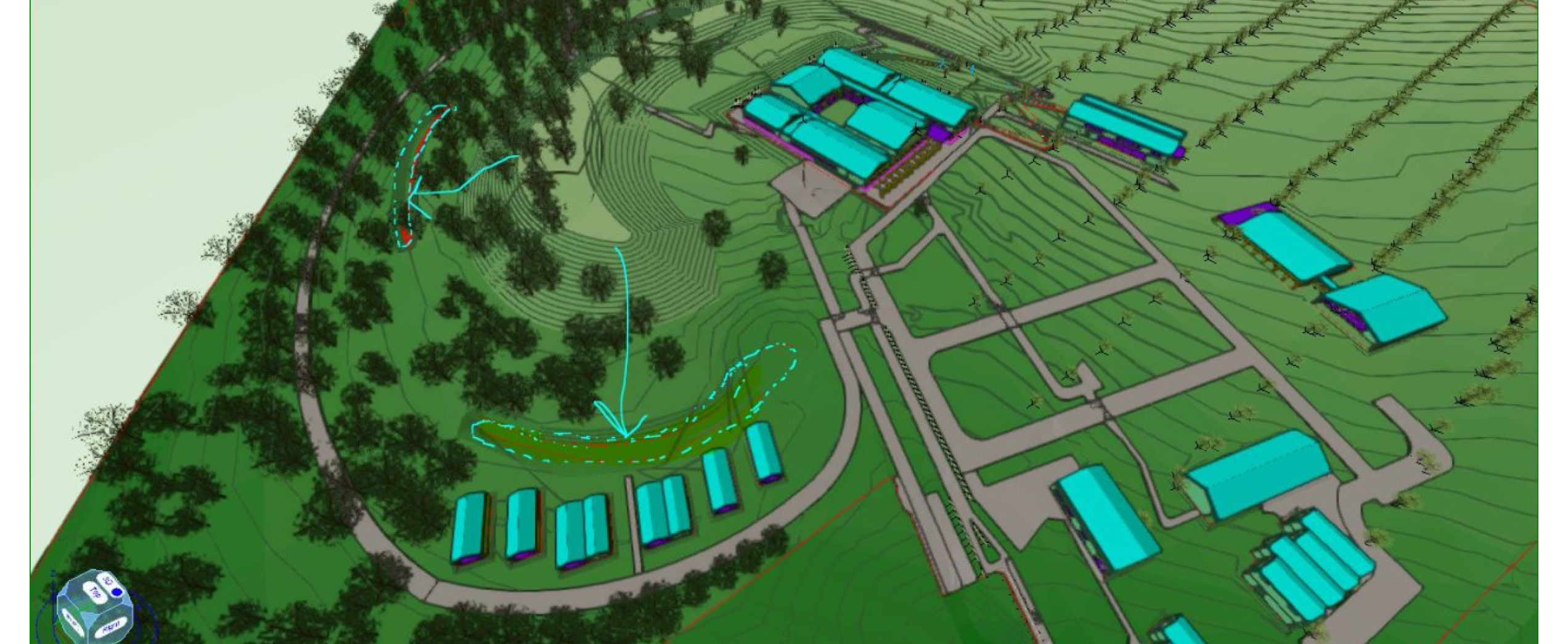
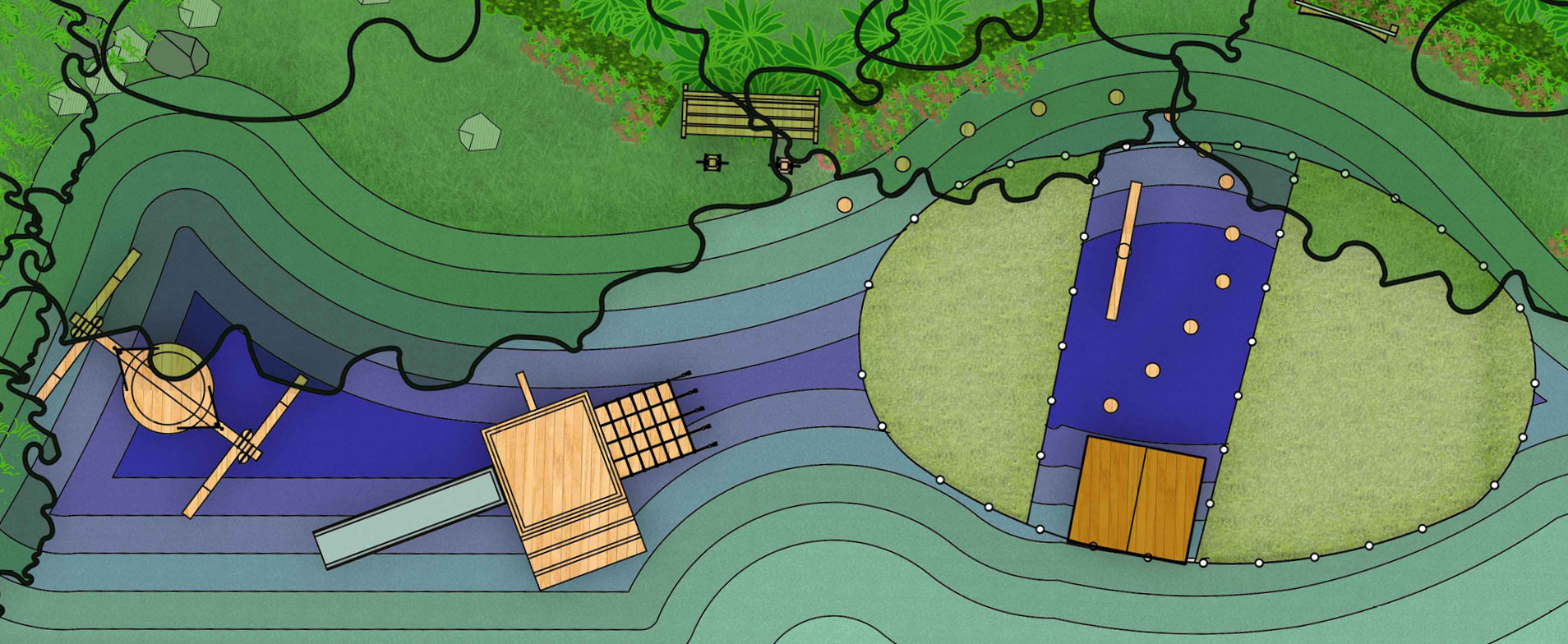
Once baseline information from the wider context has been compiled, we focus on site information, pulling together all the surveys relevant to the project; usually topography, arboricultural and drainage surveys to see what the landscape currently holds, then adding any architectural plans and working with the multi-disciplinary team to work out opportunities and constraints. Getting a sense of the land is crucial in what we do, particularly so that we can understand the fall
of the contours, the catchment areas around the site and the natural flow of water.
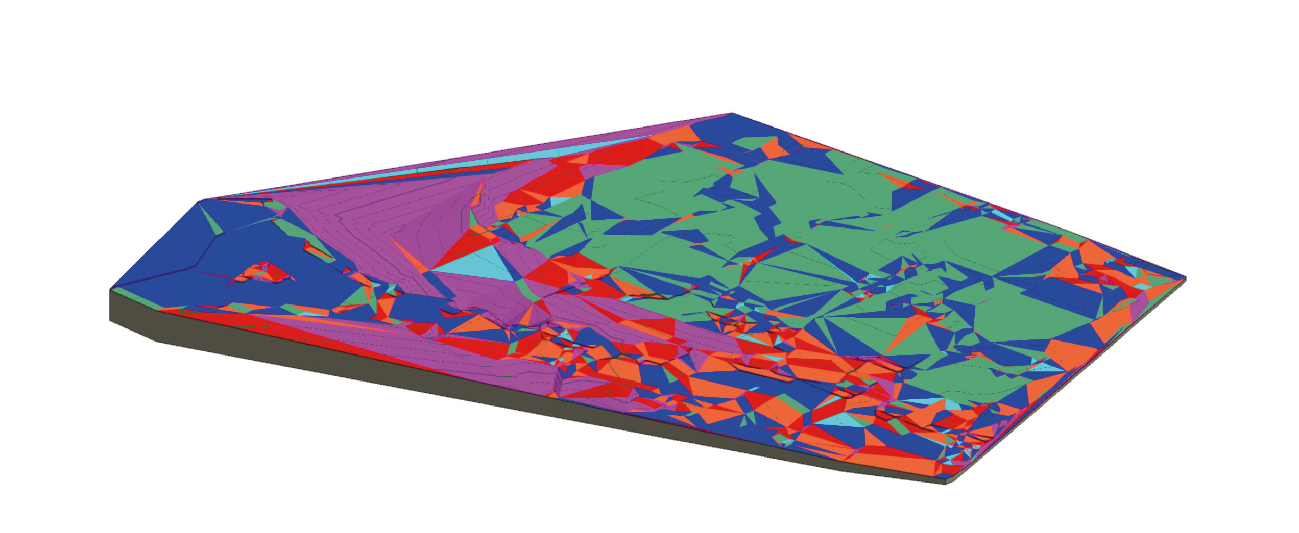
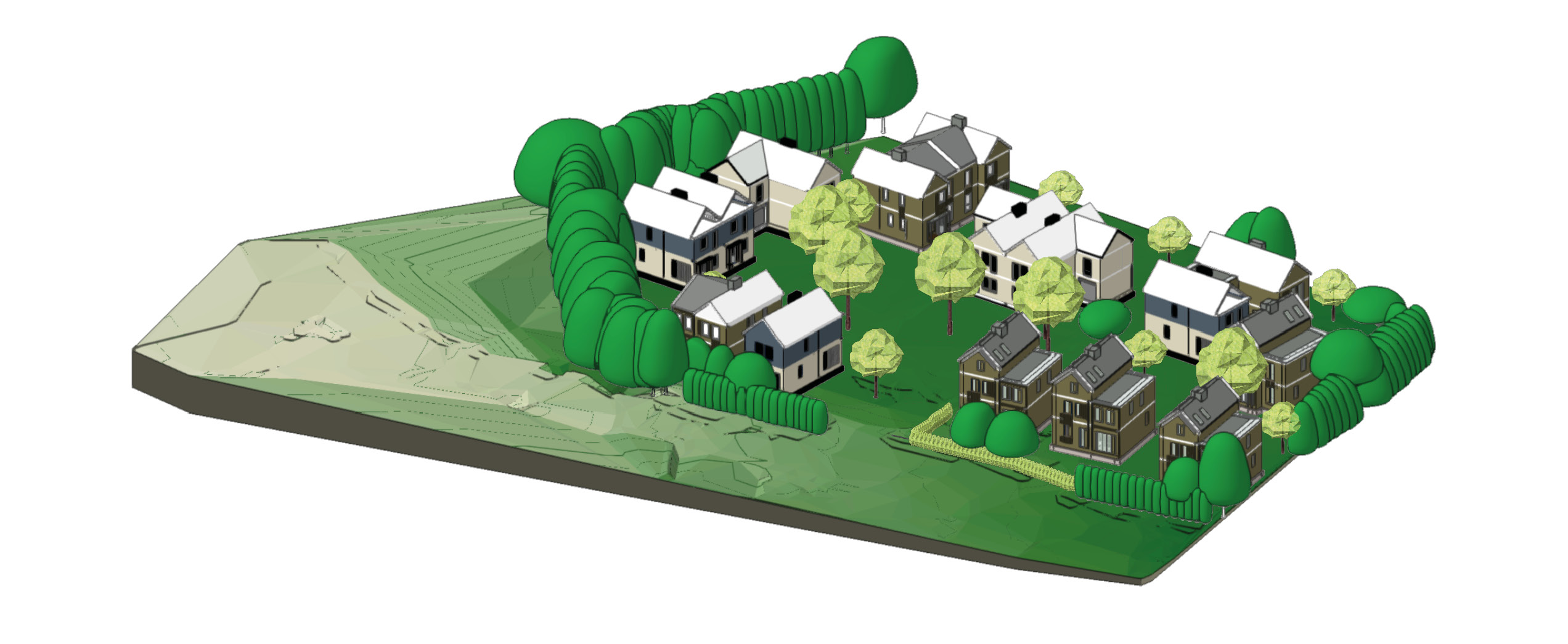
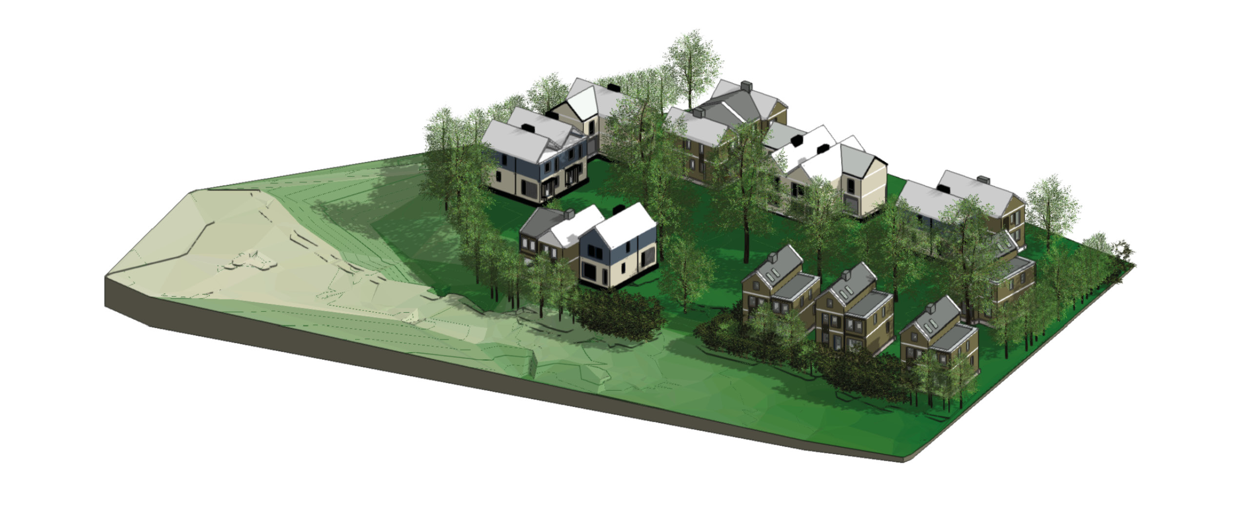
Once a 3D model takes form, R-LA will analyse terrain for cut/fill,
contours for drainage and analyse shade to inform design decisions.
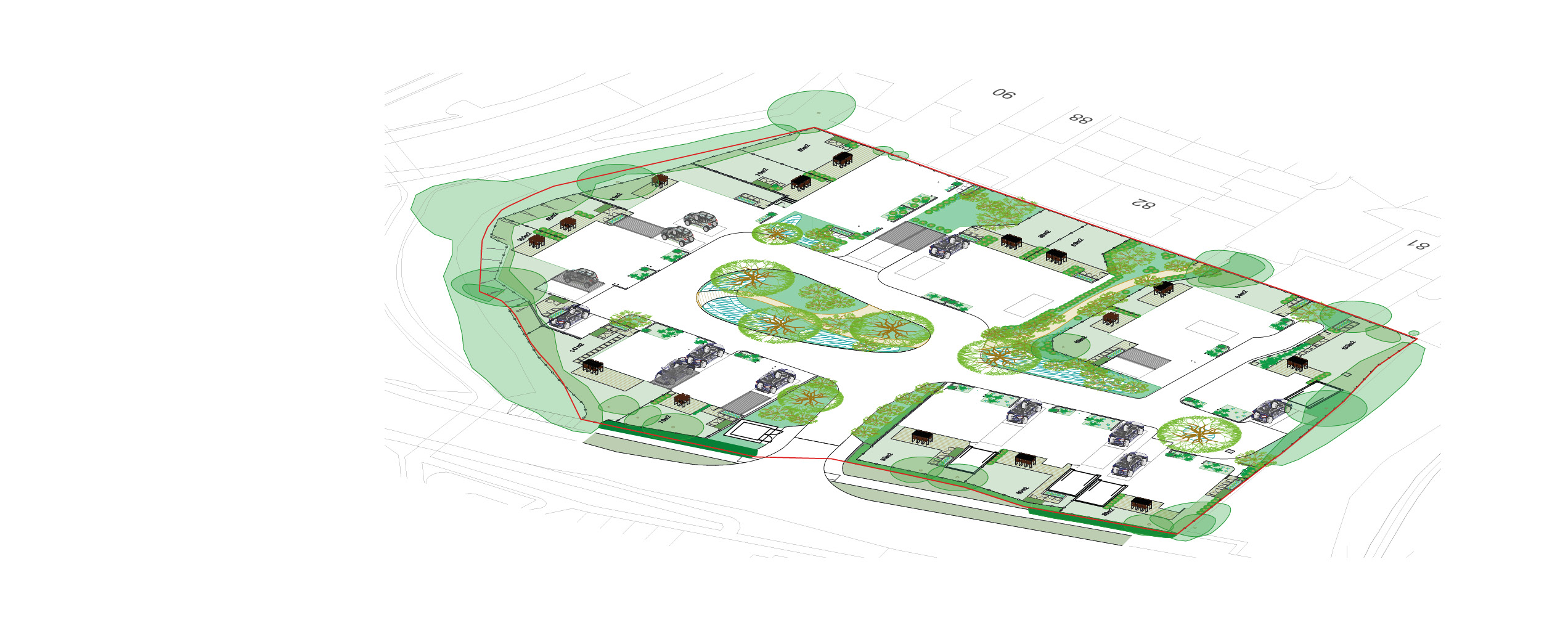
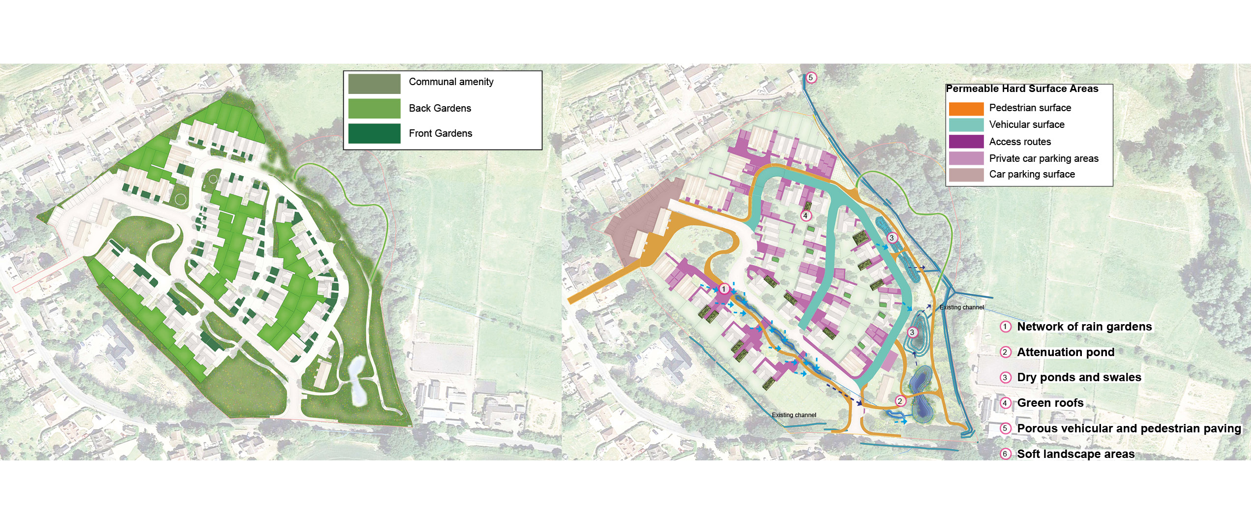
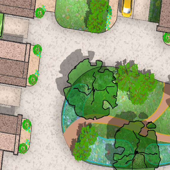
At R-LA our Information Modeling uses specialist software to produce accurate planting and material schedules
which reduce human errors, are easy to update and, perhaps more importantly, easy to share.
Broxbourne, Herfordshire
South Woodford, London
Uttelsford, Essex
London